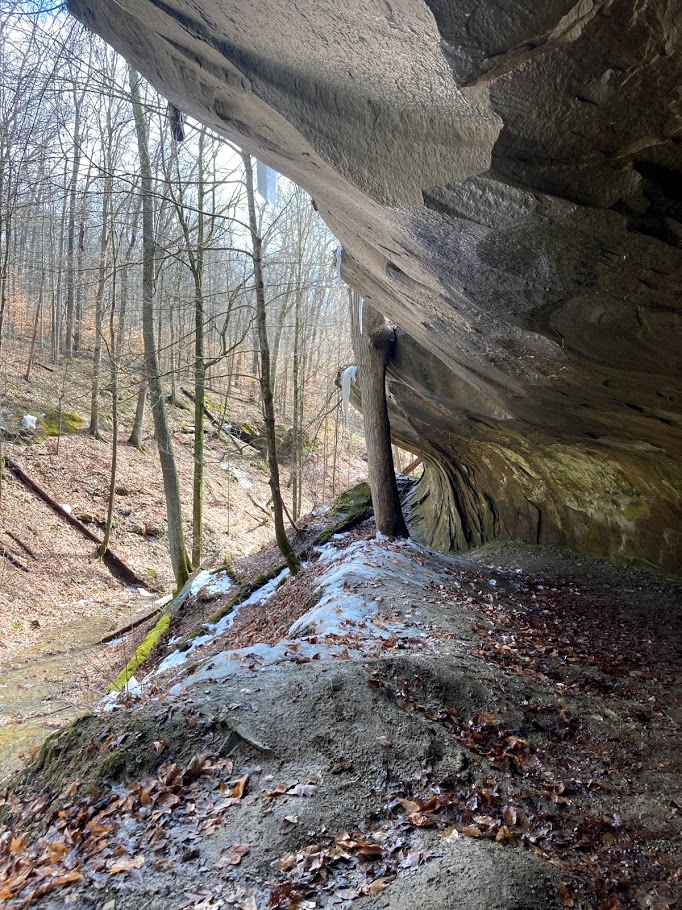
Bryant Creek Lake–Cherry Lake Loop, 8 sights is an 11-mile loop in Morgan-Monroe State Forest near Hindustan, IN. The route passes Bryant Creek Lake and Cherry Lake. It climbs 989 ft, with sections as steep as 16% grade, and is mostly dirt. It scores 74/100 on the Ambleway Wildness scale: backcountry feel.
Elevation
0 mi656 – 942 ft · steepest grade: 16%11.3 mi
Getting there
Trailhead: Morgan-Monroe Hike Bike Trail 39.32462, -86.47407
Nearest town Hindustan, IN
Directions
AMBLEWAYwww.ambleway.com
Bryant Creek Lake–Cherry Lake Loop, 8 sights
11 mi · ▲ 989 ft · 4 hr 10 min
Elevation 656–942 ft
Loop · Morgan-Monroe State Forest
Trailhead: Morgan-Monroe Hike Bike Trail · 39.32462, -86.47407
Weather Sep 20: sunrise 7:32 AM · sunset 7:48 PM
Toilets at the trailhead · Parking lot at the trailhead
- Start on Bryants Road, heading SW.
- 50 ftPass Bryant Creek Lake.
- 100 ftContinue straight onto Shelterhouse Connector, heading SW.
- 450 ftSharp left onto Three Lakes Trail, heading NE.
- 2.5 miTurn left, heading NE.
- 0.5 miContinue straight onto Three Lakes Trail-Cherry Lake Cutoff, heading SE.
- 0.3 miContinue straight onto Three Lakes Trail, heading NE.
- 0.4 miPass Cherry Lake.
- 0.1 miBear right onto Three Lakes Trail-Cherry Lake Circuit, heading NW.
- 350 ftTurn left onto Tree Identification Trail, heading NE.
- 0.3 miSharp right onto Tecumseh/Morgan-Monroe Hike Bike Trail, heading N.
- 0.1 miTurn right, heading SE.
- 100 ftTurn left, heading E.
- 0.3 miBear right onto Mason Ridge Trail, heading SE.
- 1.2 miBear right, heading S.
- 0.3 miTurn left onto Three Lakes Trail, heading N.
- 0.3 miContinue straight onto Old Three Lakes Trail, heading SW.
- 1.1 miBear right onto Three Lakes Trail, heading S.
- 3.2 miBear right, heading W.
- 450 ftTurn left onto Shelterhouse Connector, heading W.
- 450 ftBear right onto Morgan-Monroe Hike Bike Trail, heading NE.
- 50 ftThe loop closes back at the trailhead.
Each distance is the walk from the previous step. Tap a step for a map of its junction.
Trail surface
88% dirt4% paved1% gravel7% unspecified
Weather
Sunrise 7:32 AMSunset 7:48 PM
Good to know
- Toilets at the trailhead
- Parking lot at the trailhead
More from Morgan-Monroe Hike Bike Trail Trailhead
- Bryant Creek Lake–Farr Road, 3 sights 4.1 mi · ▲ 285 ft
Get outside more
A wild hike near Hindustan, emailed to you once a week.
Hikes near Hindustan, Indiana