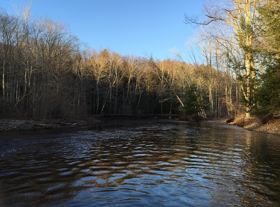
Day Pond Road is a 5-mile out-and-back in Salmon River State Forest near North Westchester, CT. It climbs 649 ft. It scores 63/100 on the Ambleway Wildness scale: backcountry feel.
Elevation
0 mi138 – 449 ft5.1 mi
Getting there
Trailhead: Unnamed 41.57349, -72.41580
Nearest town North Westchester, CT
Directions
AMBLEWAYwww.ambleway.com
Day Pond Road
5 mi · ▲ 649 ft · 1 hr 59 min
Elevation 137–450 ft
Out & Back · Salmon River State Forest
Trailhead: 41.57349, -72.41580
Weather Sep 20: sunrise 6:36 AM · sunset 6:52 PM
- Start at the trailhead, heading N.
- 0.6 miTurn left, heading SW.
- 1.1 miBear left onto Day Pond Road, heading S.
- 0.3 miTurn right, heading SW.
- 0.1 miBear right, heading SW.
- 0.3 miReach the turnaround, then head back the way you came.
- 0.3 miBear left, heading E.
- 0.4 miBear right, heading NW.
- 1.1 miTurn right, heading NE.
- 0.6 miArrive back at the trailhead.
Each distance is the walk from the previous step. Tap a step for a map of its junction.
Trail surface
20% dirt80% unspecified
Weather
Sunrise 6:36 AMSunset 6:52 PM
More from this trailhead
- Air Line State Park Trail 7.3 mi · ▲ 673 ft
- Pines 7 mi · ▲ 777 ft
- Higher than High Road–Low Road, 4 sights 10.7 mi · ▲ 1,089 ft
- Air Line State Park Trail 7.1 mi · ▲ 645 ft
- Day Pond Road 4 mi · ▲ 483 ft
- Day Pond Road 4.3 mi · ▲ 541 ft
Get outside more
A wild hike near North Westchester, emailed to you once a week.
Hikes near North Westchester, Connecticut